One For The Road...
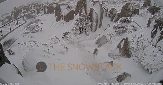
After an exceptional run of winter heat and rainfall the Australian alpine will cop a classic winter-front early this week.

Outlook Summary
Marginal snowfall conditions persist through this weekend for the resorts.
7-20cm of snow for the Aus Mainland resorts on Monday.
A dry spell for South American resorts over the next fortnight.
Southern NZ sees flip-flopping marginal systems over the coming days
The Australian snowpack has taken a beating over the past few weeks, and despite hopeful signs of a broadscale pattern shift, the last week has shown little to no change, with fronts still peaking in the southeast Indian Ocean.

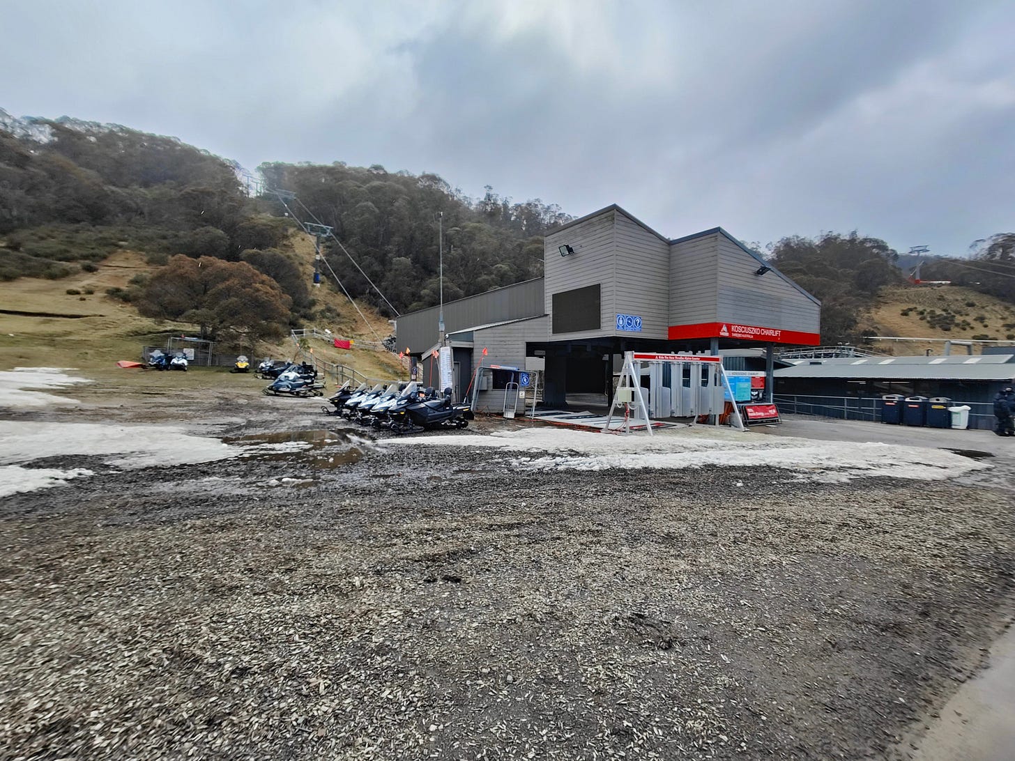
Only now, over recent days, have we seen things change as the formidable frontal node slides south-eastwards - too little, too late for resorts such as Mount Buller & Baw Baw who close their lifts for the season. Mount Hotham has also published its last day of operations for this Wednesday.
“Despite the heroic efforts of the mountain operations team who have been making and moving snow it has been decided skiing and snowboarding for the season will wrap up at 5pm Sunday.” - Buller Ski Lifts
Recent observations have the alpine region experiencing temperatures 3-5°C above average in recent weeks.
The Devil Is in the Detail
Recently, the MJO, an equatorial climate driver, moved through the Maritime Continent (our region), but its impact has been weaker and more delayed than anticipated in the last Snowstack post. While the MJO typically influences circumpolar frontal patterns, its effect this time has been less significant, leading to a reduced impact on the SAM/AAO as well.
SAM currently sits in a neutral phase, yielding frontal features to slip south of the continent - hence why Tasmania has copped a barrage of westerlies of late.
Keep reading with a 7-day free trial
Subscribe to The Snowstack to keep reading this post and get 7 days of free access to the full post archives.


